3D Laser Scanning for Surface Analysis

TitlePrecise surveying for your projects
Surface analysis with laser scanners offers a revolutionary method for the precise capture of 3D data. Terrestrial and mobile laser scanners can be used to analyze complex surface structures in detail - for applications in industry, construction, heritage, mining and transport infrastructure.
Use the precise recording for:
- Quality control in production
- Construction progress monitoring
- Restoration documentation
- Geological surveys
- Infrastructure maintenance planning
TitleAdvantages of 3D laser scanning for surface analysis
Using the latest laser technology, millions of measuring points can be captured in a matter of seconds. These point clouds form the basis for precise 3D models and detailed surface analyses. The use of terrestrial and mobile laser scanners offers the following advantages:
- High accuracy: exact measurements with an accuracy in the millimeter range.
- Time saving: Fast capture of large areas and objects in the shortest possible time.
- Flexibility: Use in a wide variety of environments – whether indoors, outdoors or in areas that are difficult to access.
- Data integration: Seamless further processing of data in common CAD and BIM systems.
- Cost efficiency: Reduced inspection times and improved planning processes save time and money.
TitleApplications of surface analysis
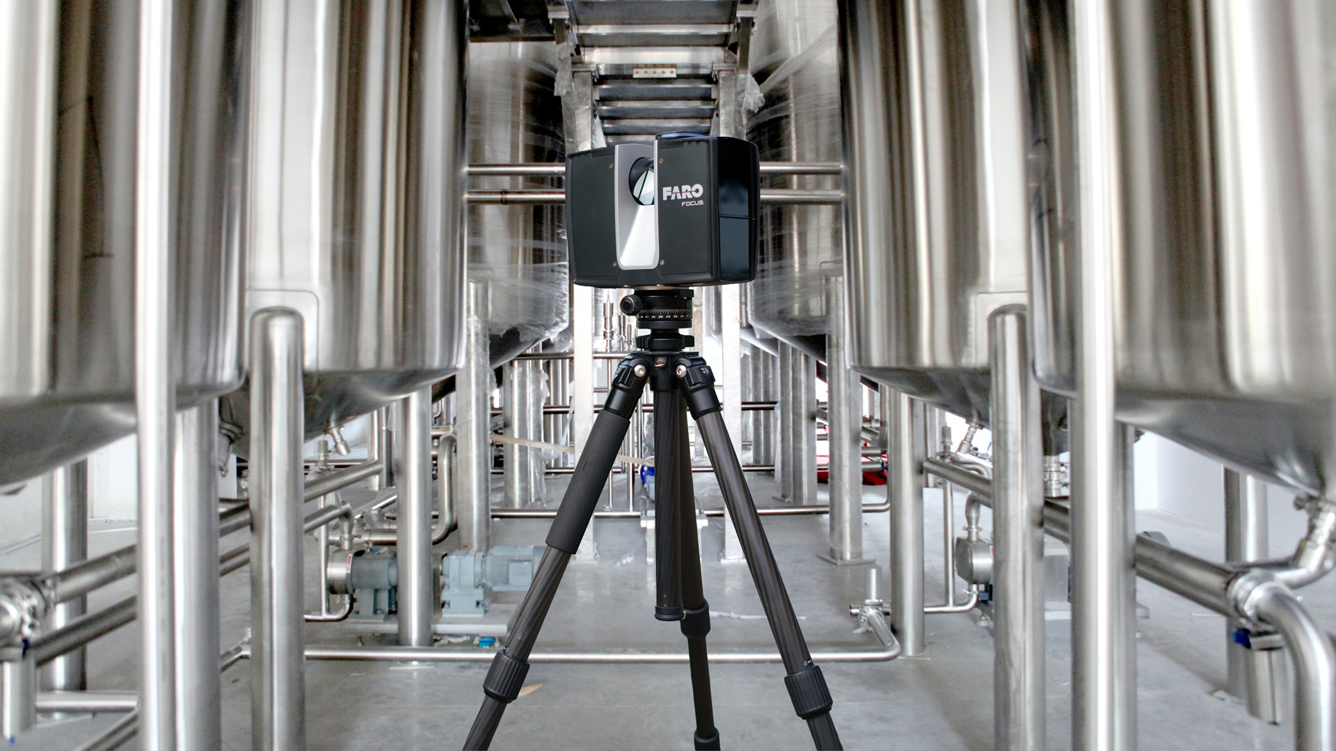
Industry & Manufacturing
In industrial production, precise surface analysis is essential to ensure the quality and accuracy of components. Our laser scanners capture detailed geometries and enable
- dimensional checks of components
- surface inspections for error analysis
- creation of digital twins for process optimization
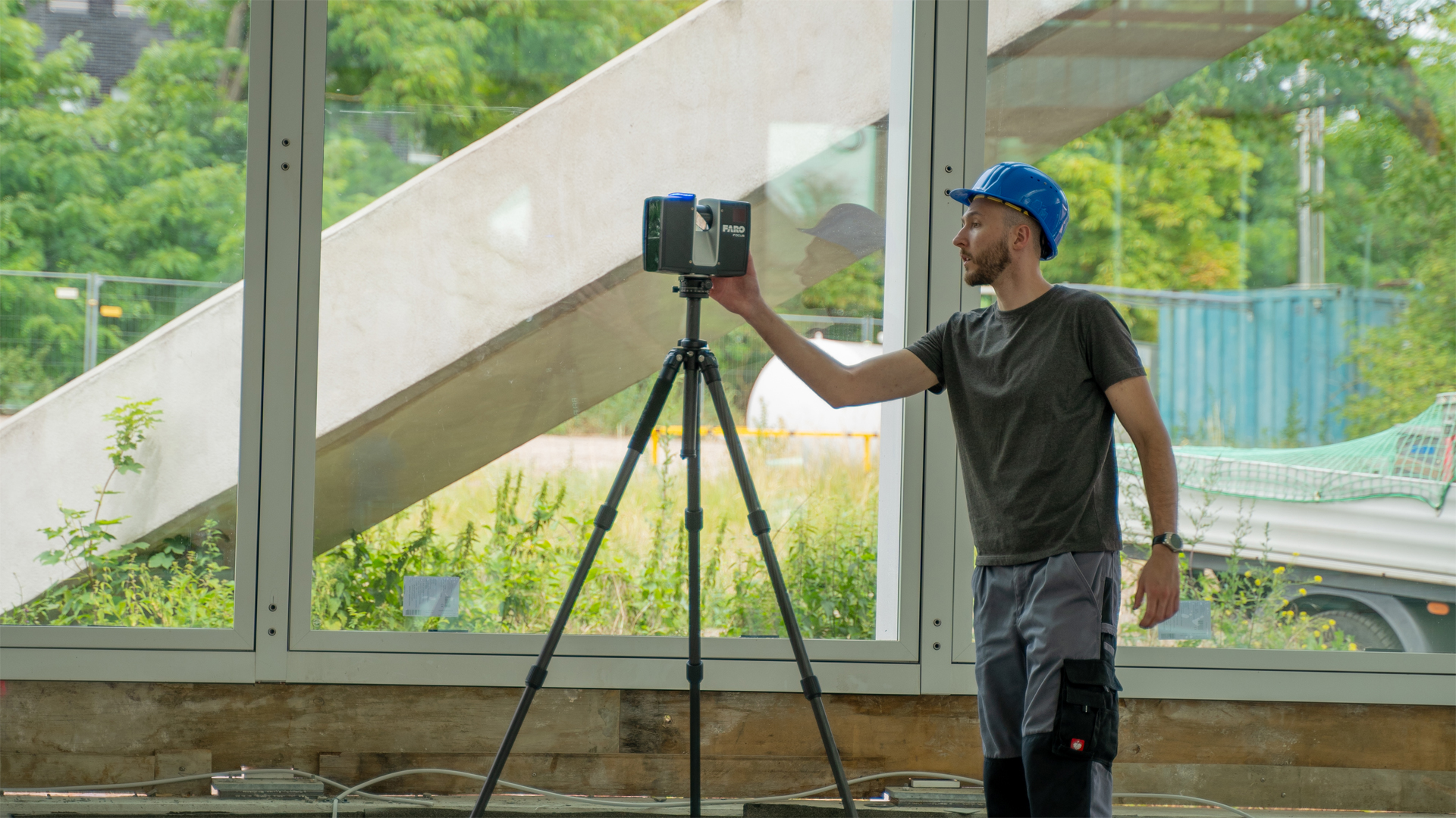
Construction
Capture buildings and construction sites in 3D to create as-built surveys or monitor construction projects. Possible applications include
- as-built surveys and as-built documentation
- checking floors, walls and facades for evenness
- construction progress monitoring and fault detection
Heritage conservation & architecture
Precise documentation of historic buildings is crucial for restoration work. Use laser scanning for:
- documentation of monuments and buildings
- digital preservation of cultural assets
- planning restoration measures
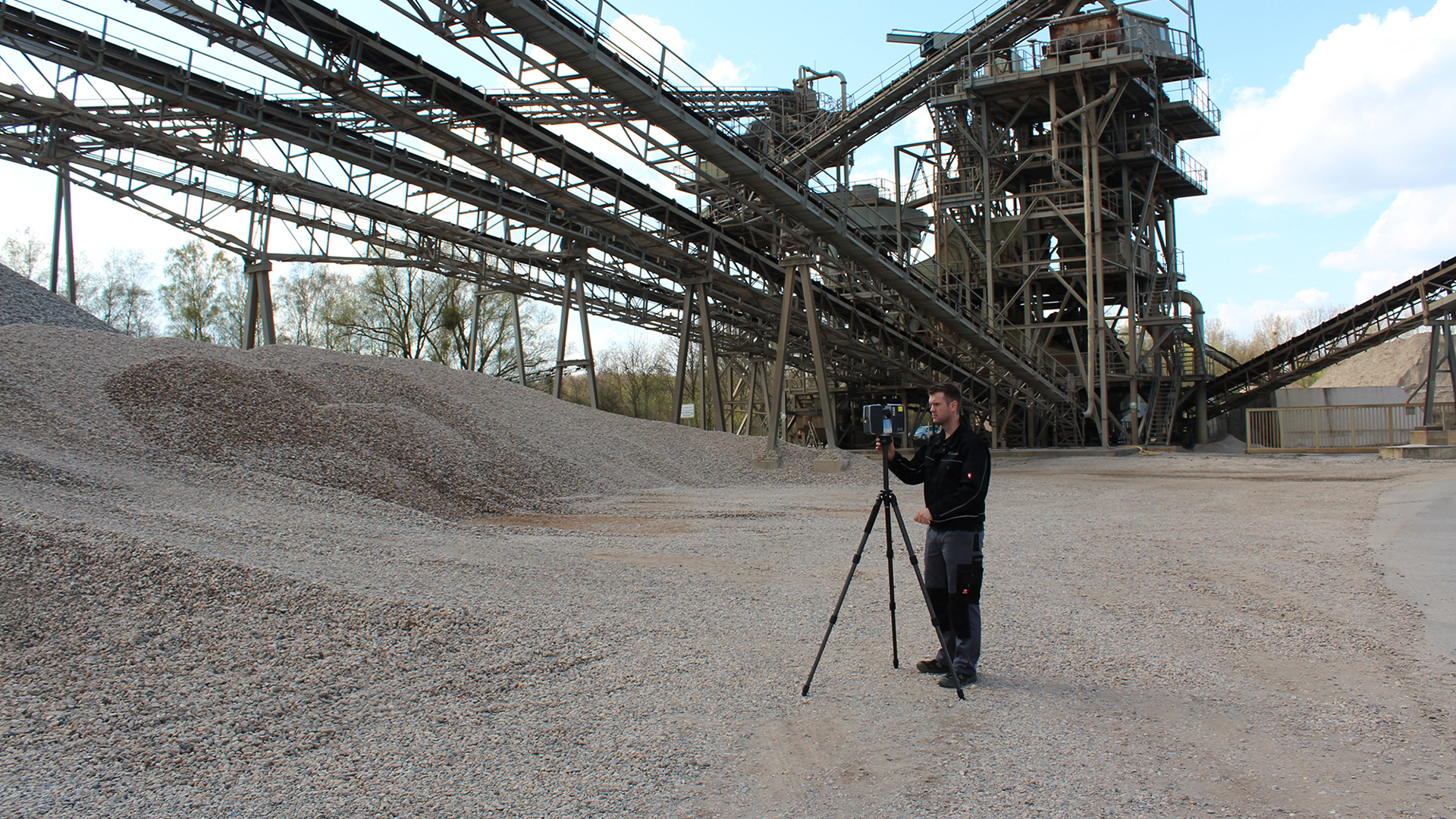
Mining & geology
Laser scanners are the ideal tool for investigating rock formations and terrain profiles in mining and geology. Applications include
- surveying mining areas and geological formations
- analyzing slope stability and erosion
- planning of exploration and mining projects
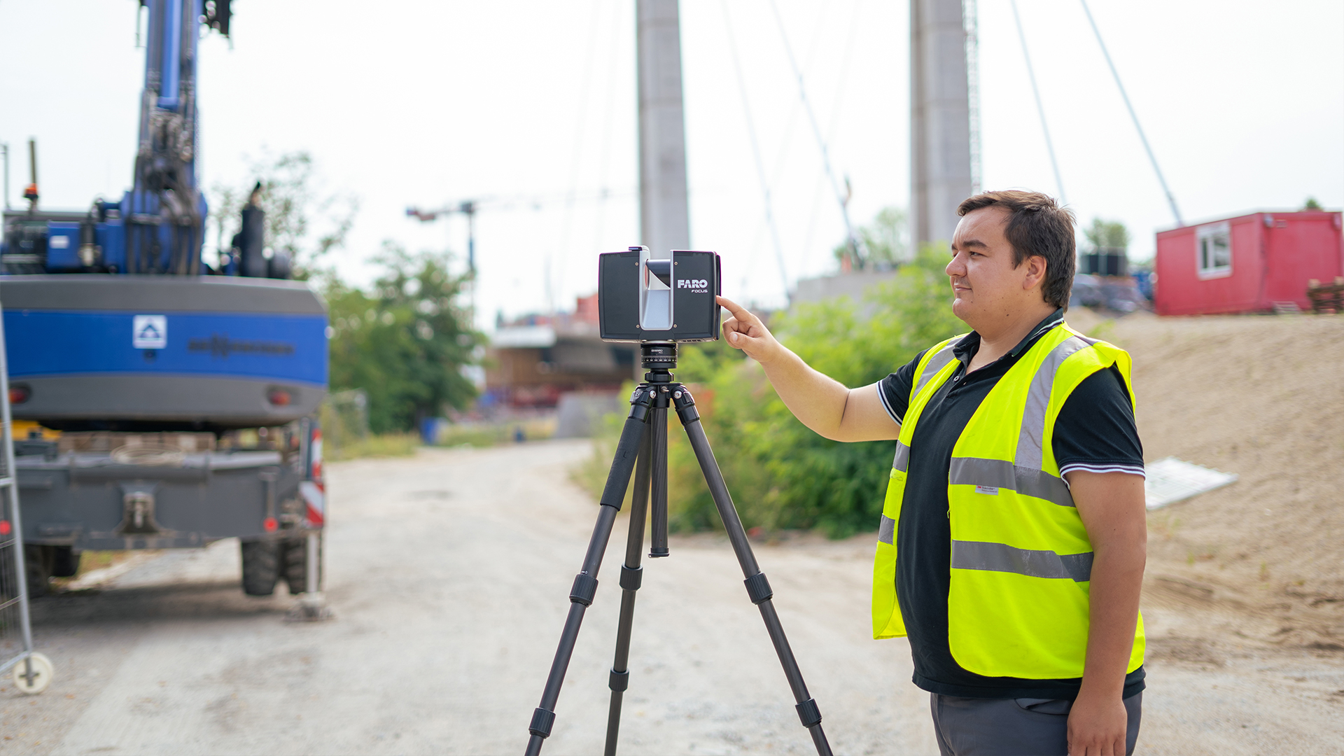
Transport infrastructure
Optimize the maintenance of roads, bridges and tunnels with precise laser scans. The most important areas of application include
- inspections of roads and bridges
- planning maintenance and repair work
- documentation of traffic routes and structures
TitleSurface analysis with point clouds
The use of point clouds in surface analysis enables the precise and detailed capture of complex structures and the smallest irregularities. Thanks to state-of-the-art sensor technology, the finest surface details become visible that could not be captured using conventional measurement methods.
The scan results (point clouds) consist of millions of individual measuring points that are generated by laser scanners and provide a three-dimensional representation of the scanned surfaces. This 3D data forms the basis for a precise analysis of surface characteristics, height differences and deviations.
Thanks to the high density of the point clouds, even the smallest details can be captured and weak points or irregularities quickly identified, which plays an essential role in areas such as construction, industry or geology.