UAV surveying & terrestrial laser scanning (TLS)

TitlePhotogrammetrische Erfassung per Drohne als Ergänzung zu terrestrischem Laserscanning
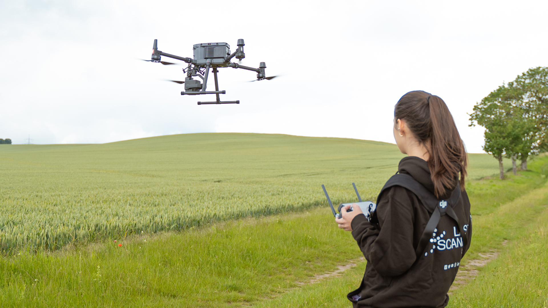
Using stable camera systems, high-quality lenses, professional drones (UAV) and appropriate evaluation software, 3D point clouds can be derived from individual measurement images. As with terrestrial laser scanning, the textured point cloud is the result of a three-dimensional survey or 3D as-built survey. In this article, we will show you two methods for the combined acquisition and evaluation of terrestrial laser scans and photogrammetric drone images.
TitleExtending terrestrial laser scans with photogrammetric UAV images
Photogrammetric UAV images can be used to precisely record all areas and surfaces that are shaded or simply inaccessible to terrestrial scanners. The use of a UAV in combination with terrestrial laser scanning makes it possible to capture objects, tall and complex buildings or areas without gaps.
This maximizes the coverage area and the combined evaluation also delivers the best possible results in terms of accuracy and level of detail. High-resolution scans and the texture information from the photogrammetric drone images are precisely merged.
TitleCombined data capture: Photogrammetry by UAV & laser scanning
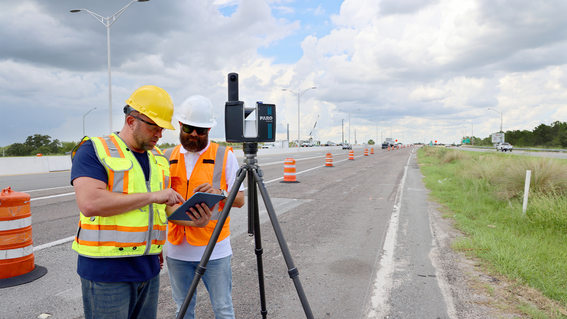
Smooth 3D as-built survey using a UAV and scanner:
- Careful planning of the survey in the office
- Laying out, marking and measuring common control points/targets on site
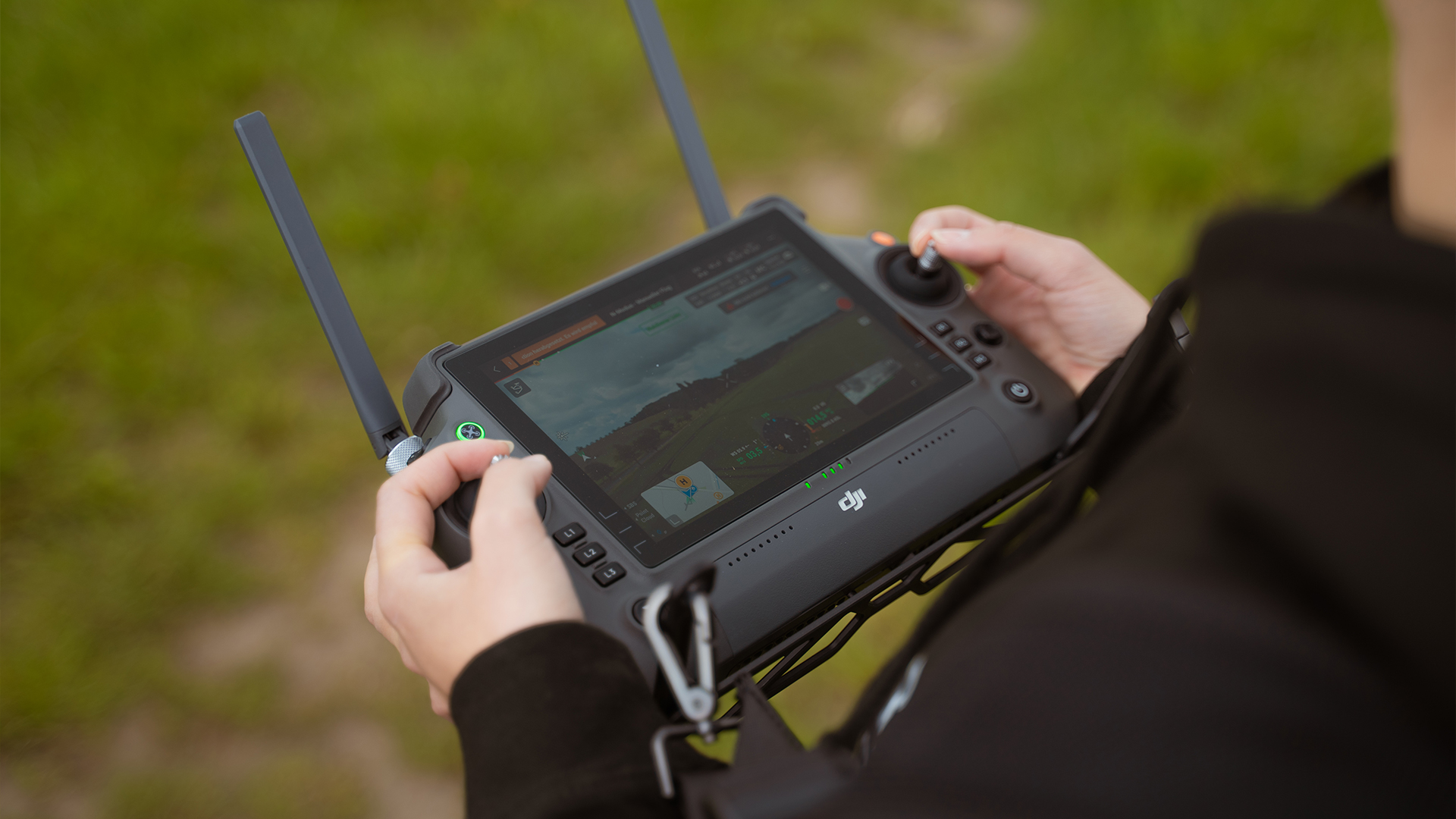
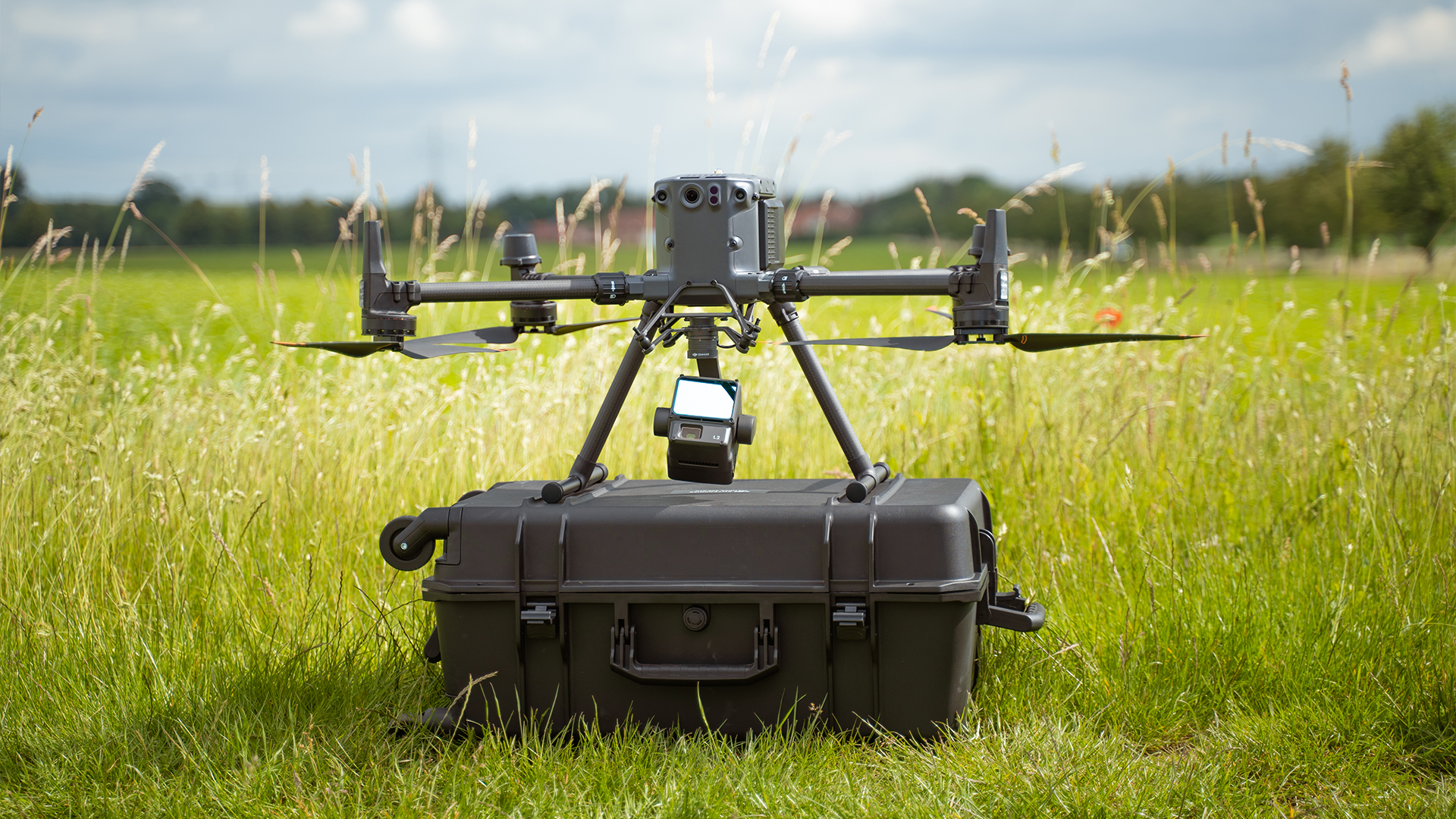
- Photogrammetric recording using stable camera systems and high-quality lenses on high-end UAVs at defined heights with different camera angles
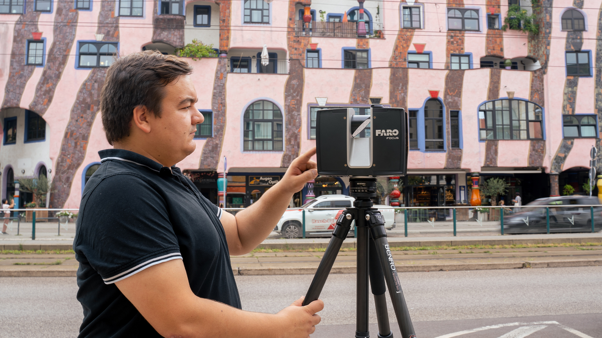
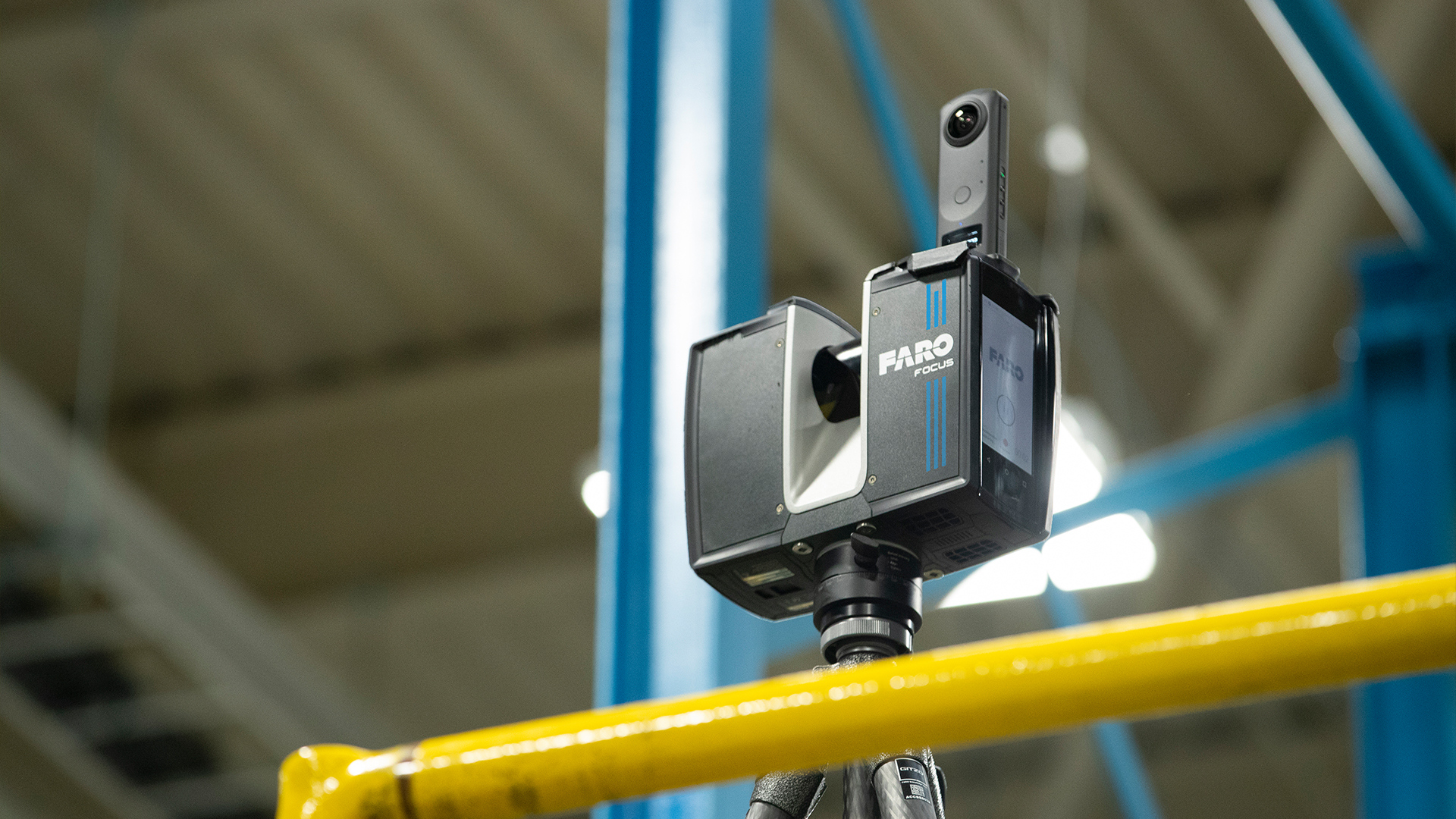
- 3D laser scanning for three-dimensional as-built surveys (with and without color recording/intensity) on the ground
Our recommendation: The photogrammetric survey and the 3D scans should be carried out as close together as possible!
We at Laserscanning Europe recommend that you have the photogrammetric survey planned and carried out by professionals! Experienced UAV pilots and office staff pay off in every respect, especially in terms of safety and efficiency. We will be happy to help you find the right UAV service provider!
TitlePossible combinations of photogrammetric UAV images with terrestrial scans
Variant I
Photogrammetric analysis of the measurement images and merging the point cloud with the laser scan point clouds in PointCab
- Photogrammetric analysis of the measurement images
- Image registration/alignment, referencing via control points. Subsequent bundle block adjustment and processing of a dense point cloud for export
- The point cloud is (geo)referenced, textured and optionally classified
- Orthophotos and views are created directly in Agisoft Metashape
- Registration and georeferencing of the laser scans in PointCab or scanner software (additional export required)
==> Merge (alignment via transformation) the two point clouds via common control points and targets in PointCab
BENEFIT
- The workflow is suitable for all point clouds of various systems, even without RGB values
- Existing photogrammetry software licenses can continue to be used
- Familiar, reliable workflow without loss of quality or information
- Work directly in the PointCab target software, e.g. to create sections, views or volume calculations
- Work directly via PointCab in CAD software using ArchiCad or Revit plugin
TitleVariant II
Simultaneous analysis of photogrammetric images in combination with pre-registered (geo)referenced laser scans
- Registration and georeferencing of the color laser scans in PointCab or scanner software. Subsequent export in color as an ordered point cloud
- Import and registration of the terrestrial laser scans in Reality Capture from Capturing Reality
- Photogrammetric analysis of the measurement images using the terrestrial scans as a basis
- Image registration/alignment, referencing via laser scans and control points. Subsequent bundle block adjustment and processing of a dense point cloud.
- Export of a (geo)referenced and textured 3D point cloud for further processing
- Orthophotos and views are created directly in Reality Capture
==> Further processing of the textured point cloud in PointCab
BENEFIT
- Very efficient and fast processing of a large number of photogrammetric images and terrestrial laser scans
- More stable alignment and rectification: The simultaneous processing of the measurement images with the dense and precise laser scans significantly improves the quality of the photogrammetric results.
- The result of UAV images and terrestrial scans is a dense point cloud “from a single source”
- No loss of small, very delicate objects/components thanks to the active capture and high resolution of the laser scans
With both variants, further processing of the point clouds in the respective target software such as CAD programs or PointCab, e.g. to create sections, views or volume calculations, is possible without any problems!