Surveying the terrain by drone

TitleRevolutionary surveying with UAVs - Precise, fast & cost-effective
UAVs have revolutionized surveying technology and offer precise, efficient and cost-effective methods for mapping terrain. They enable detailed data to be captured in the shortest possible time and open up a wide range of possible applications.
Whether for construction projects, agriculture, environmental monitoring or infrastructure – UAVs offer a fast, safe and economical solution for terrain surveying.
TitleAreas of application for UAVs in surveying
UAVs are used in numerous areas of surveying, including:
- Cartography & land surveying: Creating high-resolution orthophotos and 3D models of areas, especially where no up-to-date or detailed data is available.
- Construction & infrastructure planning: Monitoring of construction sites, documentation of construction progress and support in the planning of infrastructure projects.
- Agriculture & forestry: Analysis of fields and forests to optimize yields and monitor forest areas.
- Mining: Surveying of mining areas for the planning and monitoring of mining processes.
TitleHow terrain surveys with UAVs work
Terrain surveys using UAVs are carried out by flying over the area to be surveyed along pre-planned flight routes.
During the flight, the sensors mounted on the UAV – such as high-resolution cameras or special LiDAR sensors – continuously capture data. This raw data is then processed using special software to create precise 2D maps (orthophotos) or 3D models (point clouds) of the terrain.
GPS-supported position data and specialized software create an exact representation of the topography – ideal for surveying, mapping and analysis.
TitleTechnologies & sensors for UAVs in surveying
Depending on the application, different sensors and technologies are used:
- Photogrammetry: 3D models and orthophotos are created from a large number of overlapping aerial images. This method is particularly suitable for detailed surface modeling and delivers photorealistic results.
- LiDAR (Light Detection and Ranging): A laser scanner emits laser pulses and measures the time until they return to the sensor. This produces high-precision 3D point clouds, which also enable vegetation penetration and provide accurate terrain models.
- Thermal cameras: These sensors record infrared radiation and enable temperature distributions to be displayed. They are used to inspect buildings, detect leaks or in agriculture.
TitleExamples of UAV models in surveying
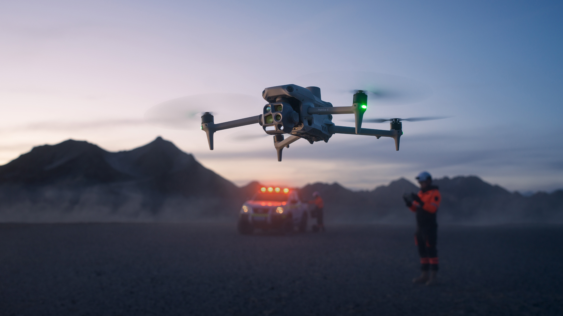
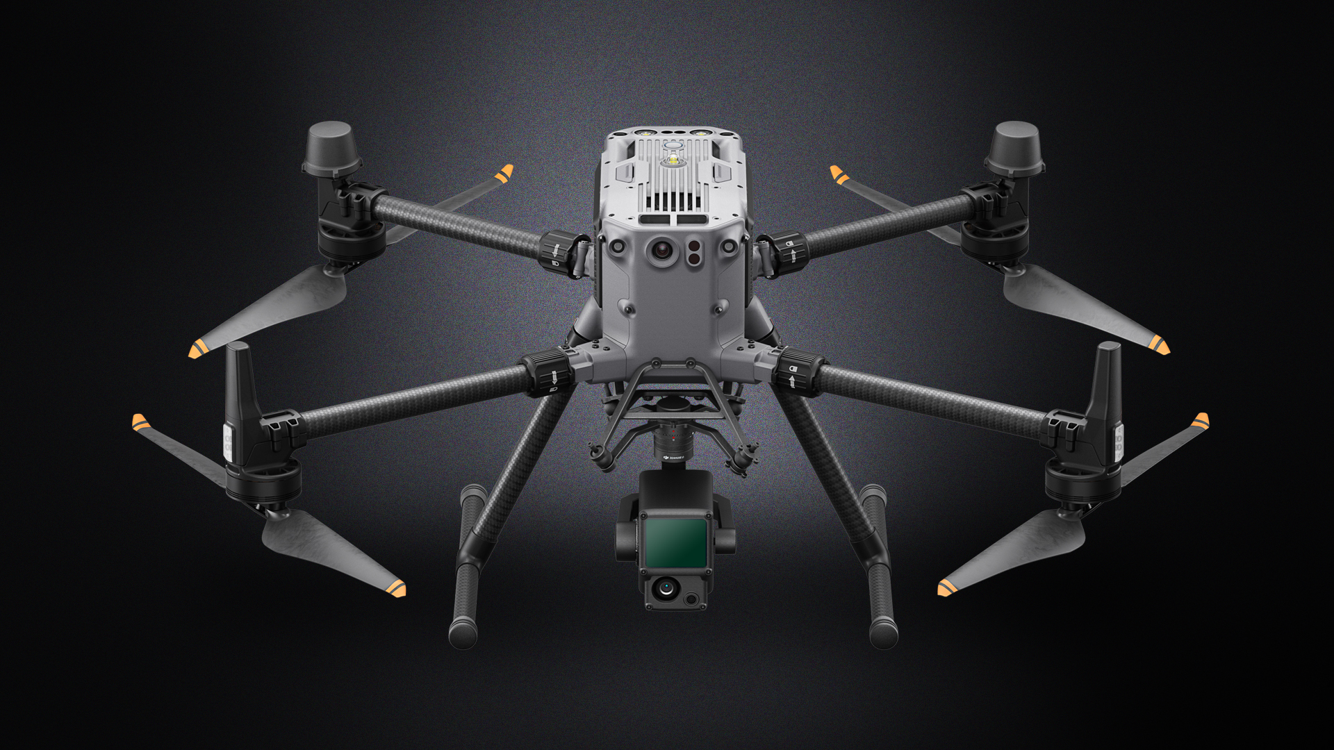
DJI Matrice 350 RTK
This UAV offers high load capacity and flexibility in sensor integration.
With RTK (Real-Time Kinematic) technology, it enables precise positioning data and is suitable for demanding surveying tasks.
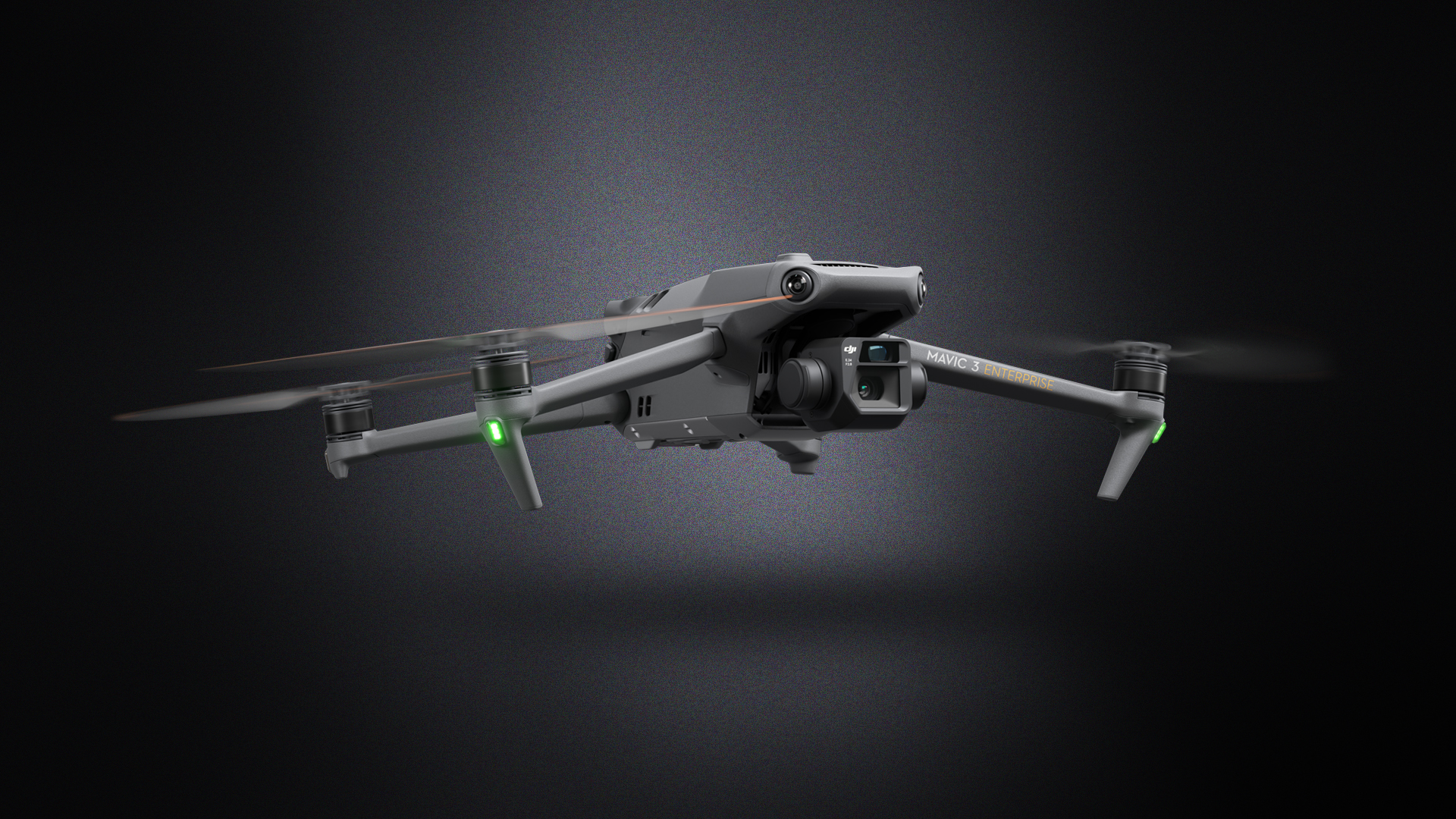
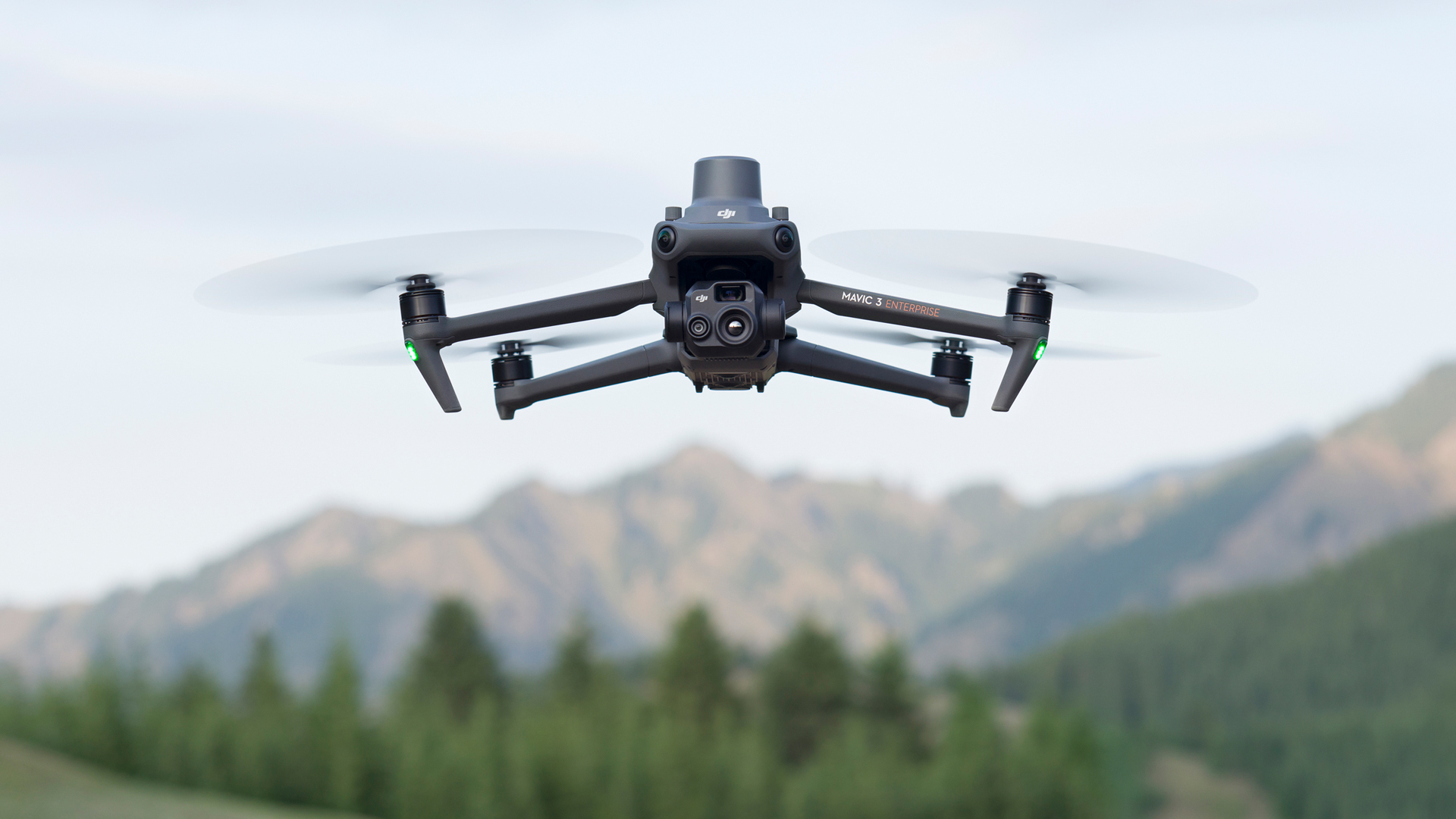
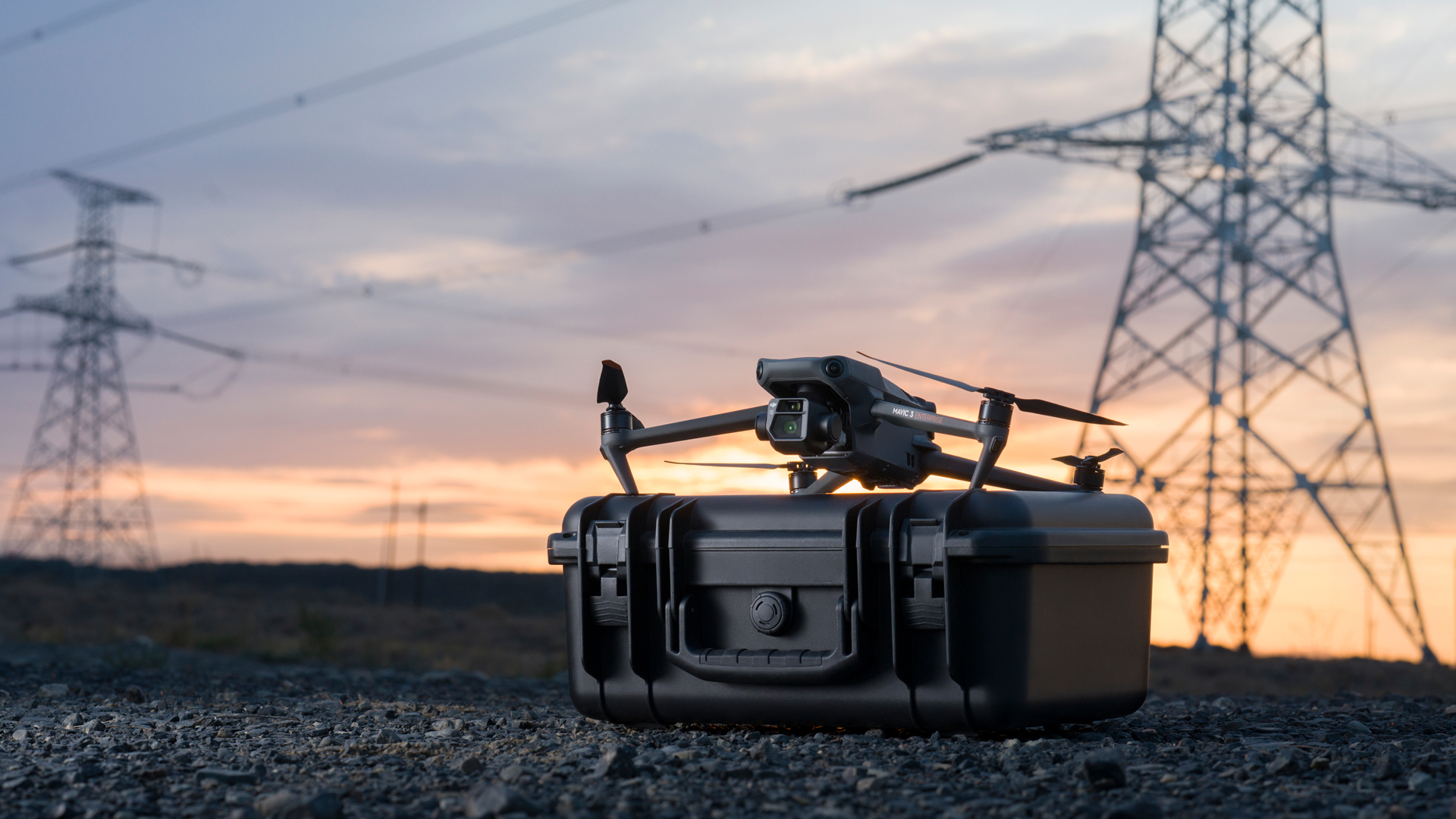
DJI Mavic 3E
A compact and efficient multicopter that is ideal for fast and flexible operations.
Equipped with a high-resolution camera and RTK module, it provides accurate data for mapping projects.
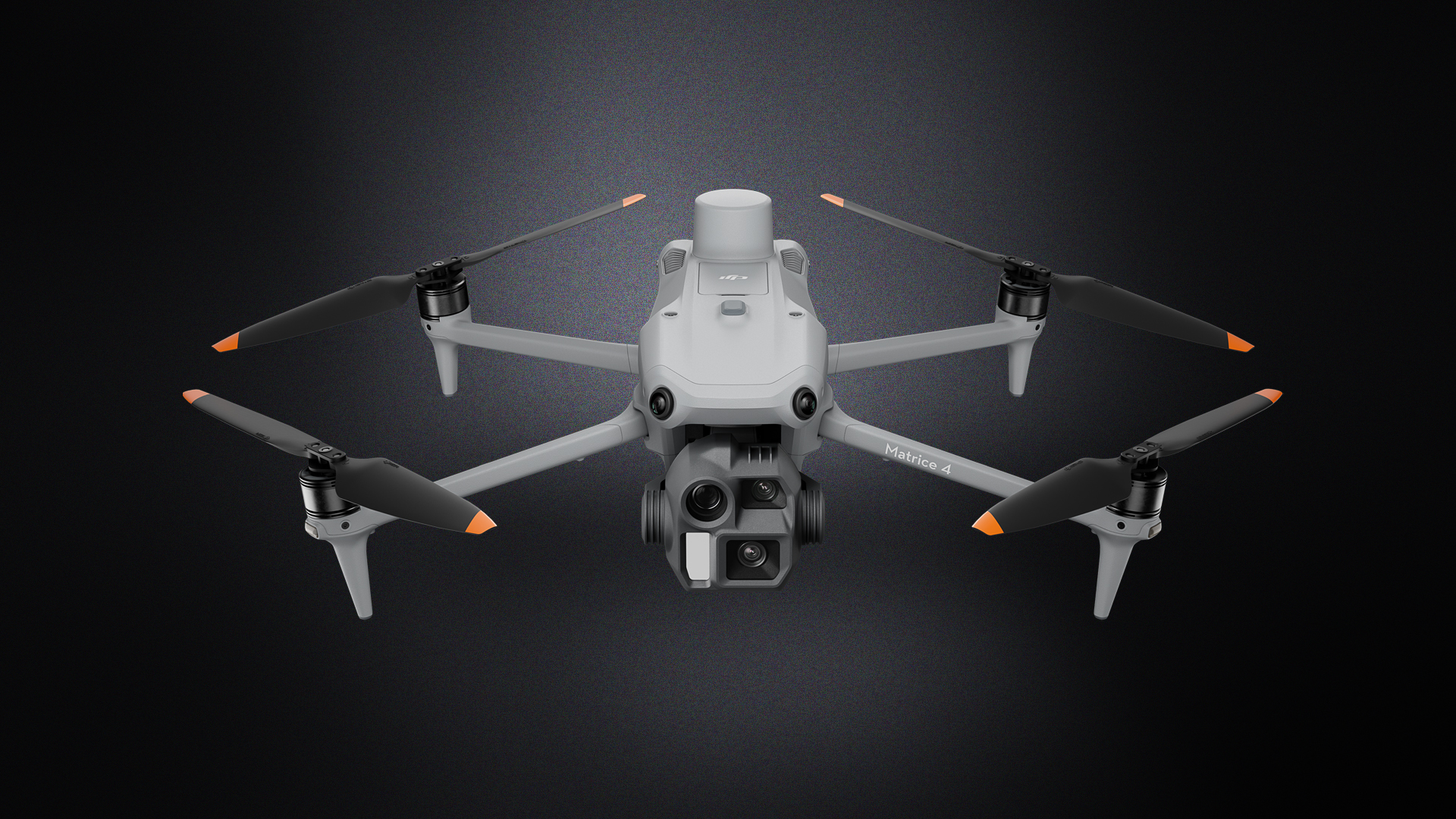
DJI Matrice 4E
This model is characterized by its robust design and versatility.
It can be equipped with various sensors and is predestined for complex surveying projects.
TitleAdvantages of UAV surveying
- Time saving: A large area can be surveyed in just a few hours, whereas a terrestrial survey could take days or weeks.
- Cost reduction: Less personnel and equipment are required on site as the UAV autonomously covers large areas.
- Accessibility of difficult areas: Dangerous or hard-to-reach areas (steep slopes, wetlands, mines, construction sites) can be safely mapped from the air.
- Higher data quality: Thanks to high-resolution sensors and GPS-supported navigation, UAVs deliver very precise data.
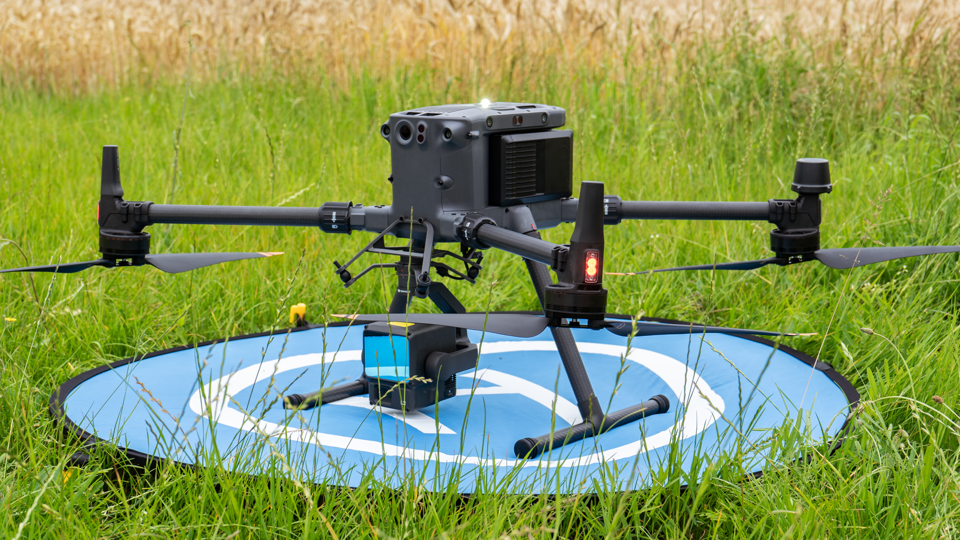
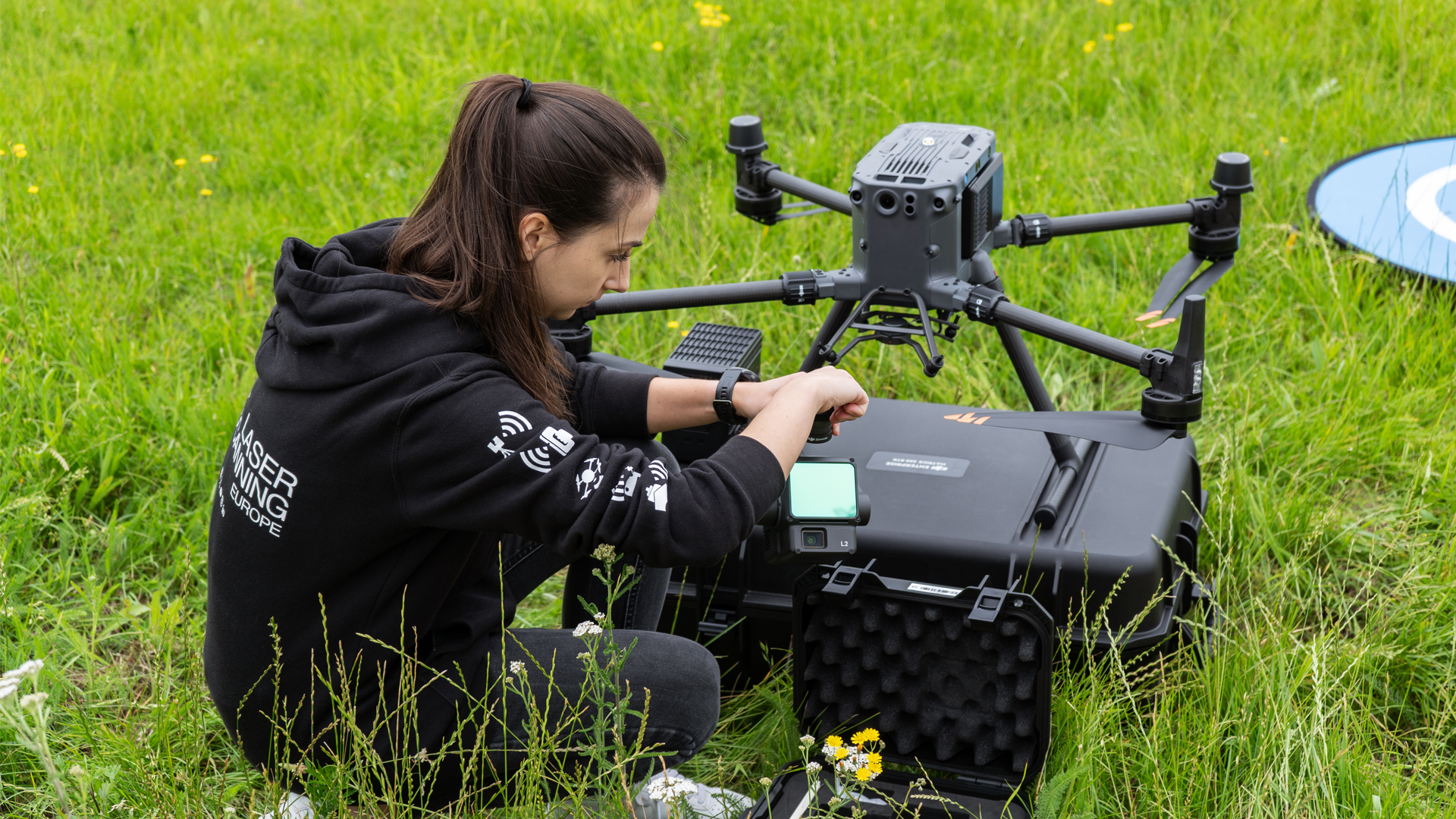
TitleCombination of UAV LiDAR data & mobile laser scanner data
A significant advance in surveying is the ability to successfully combine UAV data and mobile laser scanning data. In one of our projects, we were on the road for large-scale outdoor surveys and roof surveying and used the DJI Matrice 350 RTK with the L2 LiDAR sensor.
The FARO Orbis, whose fast Flash technology enables high-resolution scans, was used for the detailed capturing of interior spaces. The fusion of both data sets creates comprehensive digital models that are ideal for planning, inspections and virtual 3D tours, for example with BENACO.
TitleUtilize the full power of UAV technology
Whether you need comprehensive advice on the optimal use of UAVs or are looking for precise survey data for your project, we at Laserscanning Europe are your expert partner.
From individual advice and practical on-the-job training services to the creation of high-precision digital terrain models – we offer you tailor-made solutions for your requirements.