Survey of main post office Doha (Qatar) by use of PointCab

TitleLaserscanning und digitale Gebäudeerfassung: Die Vermessung der Hauptpost von Doha
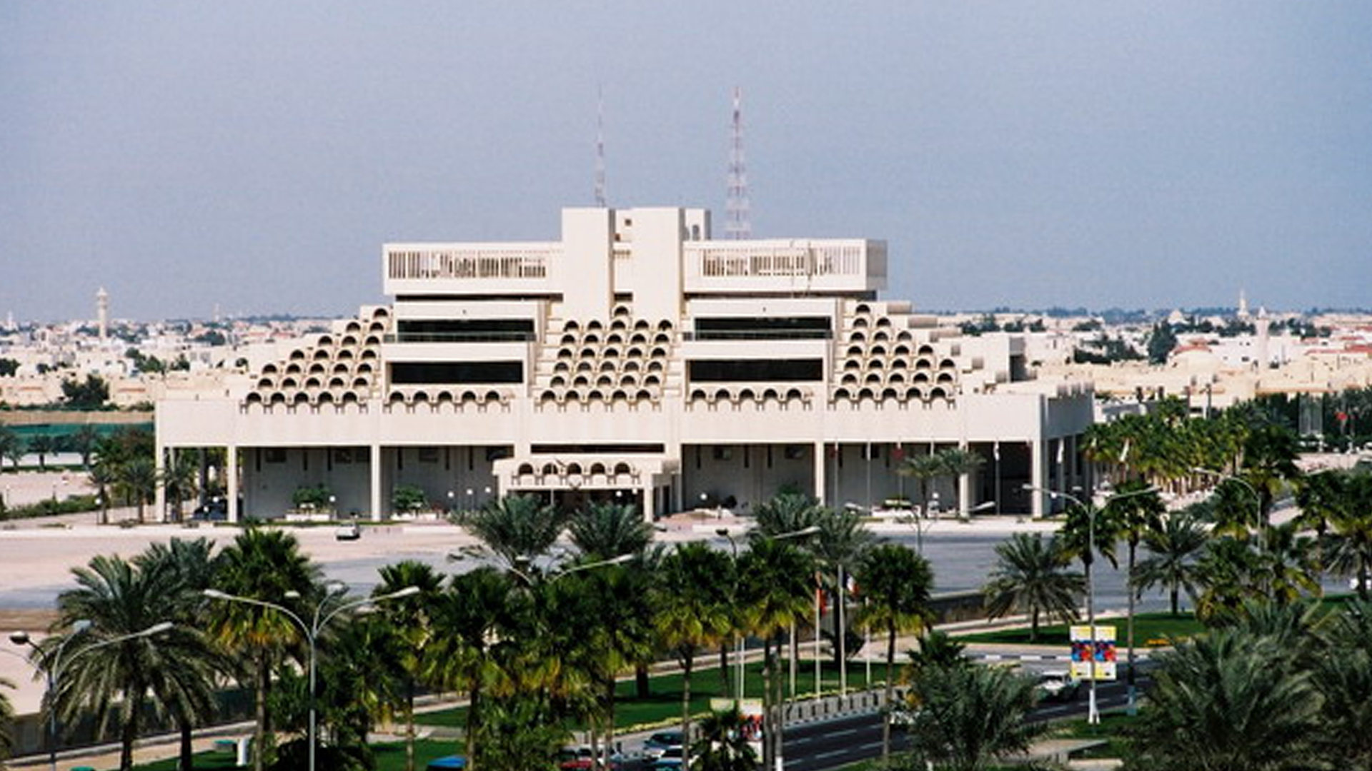
Die Hauptpost von Doha im arabischen Scheichtum Katar wurde 1979 von den britischen Architekten Twist + Whitley Architects entworfen und gebaut. Der Postbau beherbergt neben den Schaltern auch ca. 25.000 Postfächer. Das Gebäude besitzt viele markante, halbschalenförmige Dachelemente. Diese bringen Licht ins Gebäude und schatten dieses trotzdem gut ab. Bei Temperaturen von über 50 Grad im Sommer ist dies erforderlich.
Das katarische Vermessungsbüro Concord Surveying Works aus Doha wurde damit beauftragt, ein Gebäudeaufmaß der Hauptpost und des angrenzenden Parkhauses durchzuführen. Das Gebäude soll innen und außen erfasst werden. Als Endergebnisse werden Ansichten, Schnitte und Geschosspläne benötigt.
In 1979, the main post office of Doha in the Arab sheikdom Qatar has been designed and constructed by the British architects Twist + Whitley Architects. Beside the counters, the post building houses about 25.000 post office boxes. The building is characterized by many remarkable semi-monocoque roof elements. They bring light into the building and still shadow it well. At temperatures of over 50 degree in summer, this is necessary.
The Qatari surveyor’s office Concord Surveying Works from Doha has been employed to realize a building survey of the main post office and the adjacent parking garage. The building has to be surveyed from inside and outside. Views, sectional views and floor maps are needed as final results.
For the complex external geometry and large interior on several floors, laser scanning is the most appropriate measurement method. The analysis of the sophisticated architecture and the vast amount of scanning data poses a challenge. Data has to be edited so that the customer can use it for the generation of a plan in the software package AutoCAD.
By using the laser scanning software PointCab, sections can be drawn rapidly and conveniently through the floors and the building. In the point cloud software PointCab, the generation of views works easily and quickly, even with the huge amounts of data of this project.
The results from PointCab are directly loaded in AutoCAD via DXF interface and then digitalized by the analyst. Thus, plans are created.
Especially the easy handling of the software PointCab is a main advantage. Many employees can handle and use the software. Thus, the project can be analyzed more quickly.
www.pointcab-software.com
Image sources: Laserscanning Europe & www.quatarembassy.net