PointCab Mobile Mapping Weeks
Learn how to harness the power of Origins with GeoSLAM, NavVis or Emesent. Between December 7th and 16th, our sister company is hosting special webinars together with three mobile mapping providers to show you the different mobile mapping workflows with Origins.
Mobile Mapping Weeks at a glance:
Image 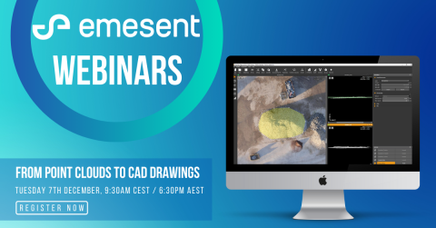
EMESENT WEBINAR: FROM POINT CLOUDS TO CAD DRAWINGS
Dezember 7th, 9.30 AM (CET)
Emesent's Hovermap solution shows its strength when it comes to terrain that is difficult to access. Mounted on a drone, the intelligent mobile mapping solution autonomously scans the area using LIDAR. In this webinar, PointCab will show you how to get the most out of Hovermap data with Origins.

NAVVIS WEBINAR: IMPROVING CAD WORKFLOWS WITH MOBILE MAPPING TECHNOLOGIES
Dezember 9th, 5.30 PM (CET)
In this webinar, Pascal Groothedde explains how he, as a NavVis user, uses Origins in daily practice to transfer his data into the CAD system. He presents one of his projects and shows us how his workflow works. Martin Graner (PointCab) and Frieder Kirn (NavVis) will also be on hand to share tips and tricks on mobile mapping with Origins and NavVis.

GEOSLAM WEBINAR: MOBILE MAPPING - EASY, SIMPLE AND EFFECTIVE SCAN TO CAD
Dezember 16th, 11.00 AM (CET)
PointCab's Origins solution is perfectly adapted to the workflow with GeoSLAM devices. So well, in fact, Origins has been integrated with GeoSLAM as a OEM software under the name GeoSLAM Draw. In this webinar, these experts show you step by step how to transfer your GeoSLAM data into your CAD system and how Draw helps you doing this.