The Pix4D & EMLID scanning kit
TitleEMLID Reach RX & Pix4D
Precise and efficient data acquisition methods play an important role in modern surveying and geodesy. One of the most innovative approaches is the combination of terrestrial and airborne scanning, in particular using Real Time Kinematic (RTK) accuracy.
The combination with the EMLID Reach RX and Pix4D application makes it possible to create digital models with surveying accuracy in a matter of minutes. By integrating these technologies, users can scan their objects with an iPhone, save the data online, make annotations and measurements and share them with third parties. The solution also offers the possibility to check geo-referenced positions and visualise projects in augmented reality (AR).
TitleEMLID: Mobile RTK technology
EMLID is known for its mobile RTK receivers, which provide extremely precise positioning data in real time. The EMLID Reach RX is used in this solution. The Reach RX differs from its predecessors in that it does not rely on WiFi or LoRa communication, but uses Bluetooth Low Energy (BLE) to connect to the smartphone. This enables a simple and stable connection for precise surveying work.
In the following video, we introduce the EMLID Reach RX GNSS receiver. Please note: This video is only available in German language.
TitlePix4D: Advanced photogrammetry software
Pix4D offers powerful photogrammetry software that creates detailed 3D models and maps from aerial and ground imagery. The software supports advanced image processing, analysis and visualisation, making it indispensable in various industries such as construction, agriculture, environmental monitoring and mining. Features include volume calculations, elevation models and orthomosaic maps, as well as AR support for CAD overlays.
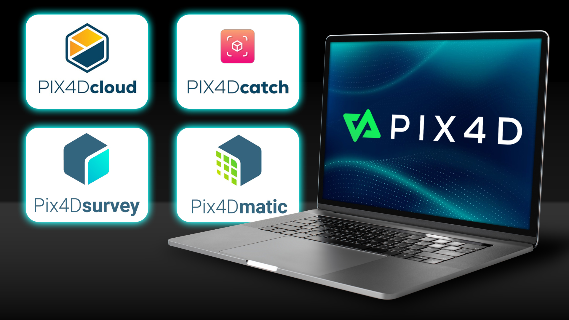
Pix4D offers various solutions for use in combination with mobile RTK receivers, which are differentiated according to specification and application area in order to cover a wide range.
These include:
- PIX4Dcatch
- PIX4Dcloud Advanced
- PIX4Dmatic
- PIX4Dsurvey
- PIX4dcatch training
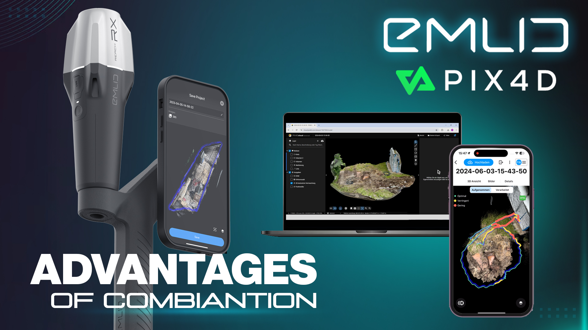
TitleAdvantages of the combination
The integration of EMLID's RTK data with Pix4D's advanced algorithms offers numerous advantages:
- Precision and accuracy: EMLID's RTK technology delivers centimetre accuracy, while Pix4D uses advanced algorithms for image processing. This enables the creation of extremely precise geo-referenced models, which are essential for applications with high accuracy requirements.
- Flexibility and efficiency: Users can utilise both online and offline processing options, making it easier to use in different environments. The ability to capture and process data on site increases efficiency and enables quick decisions.
- Advanced analysis and visualisation: Pix4D offers functions for detailed analysis and visualisation of the collected data. This includes volume calculations, elevation models and orthomosaic maps. Support for AR facilitates the integration of 3D models into the real world and promotes team collaboration.
TitleTwo versions available in our shop
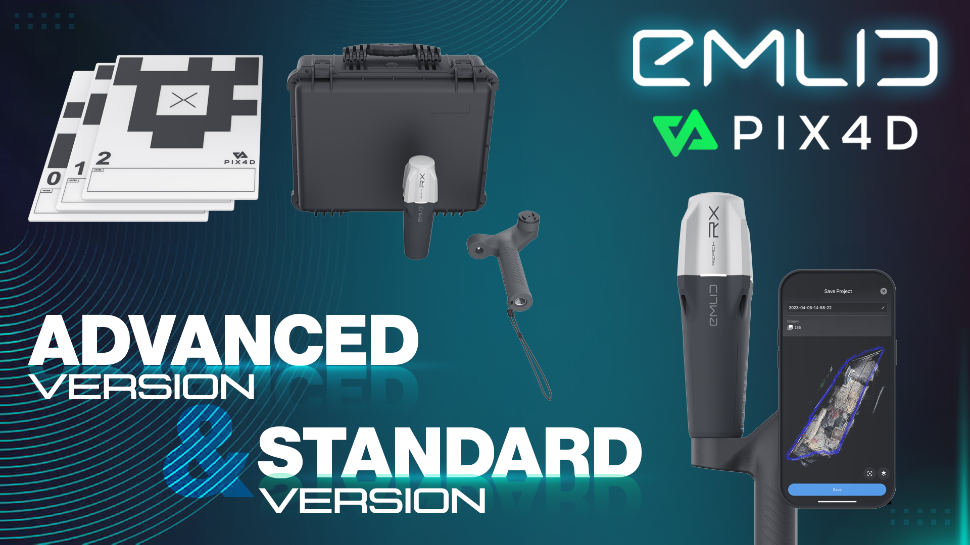
We offer 2 scanning kit versions in our shop: an Advanced version and a Standard version.
The Standard version is sufficient for users who need basic scanning and processing functions. However, the Advanced version is more suitable for users who need advanced functions and the ability to process data on their computer, which leads to better results.
TitleAreas of application for mobile GPS surveying
The mobile solution can be used in various areas:
- Construction: Precise surveying and real-time monitoring of construction sites.
- Utilities: Documentation of underground supply lines.
- Agriculture: Capture and analysis of fields to optimise cultivation.
- Environmental monitoring: Monitoring of nature reserves and monitoring of environmental changes.
- Mining: Mapping and monitoring of mining areas and deposits.
- Urban planning: Creatiion of detailed 3D models for planning and managing urban spaces.
- Accident reconstruction: Creation of precise 3D collision scenes and detailed measurements in real time.
- UAV mapping: Complement UAV mapping with terrestrial data for objects that are hidden from drone view.
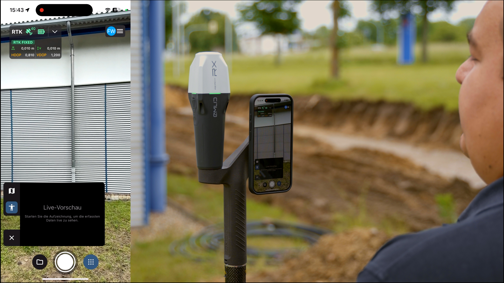
TitleHow the scanning kit works
Quick and easy data acquisition and data processing
Using the scanning kit is quick and easy. The workflow for using the mobile solution for terrestrial scanning with RTK accuracy comprises the following steps:
Data capture: Use your lidar-enabled smartphone, the Pix4Dcatch app and the Emlid Reach RX to capture accurate and geo-coordinated data.
Data processing: Upload your scans to PIX4Dcloud. The images are automatically processed in the cloud and converted into measurable results using photogrammetry algorithms. Note: The data does not necessarily have to be processed in the cloud. Local processing is also possible.
Analysis & visualisation: Use the advanced analysis and visualisation functions of Pix4D to analyze the collected data and display it in AR. If you use the Advanced version, you can mark your objects on PIX4Dsurvey as vectors in the point cloud and export them as DXF (for CAD) or SHP (for GIS).
TitleHardware compatibility
The solution is compatible with iPhones from iOS version 16.0, whereby the iPhone 15 Pro is recommended.
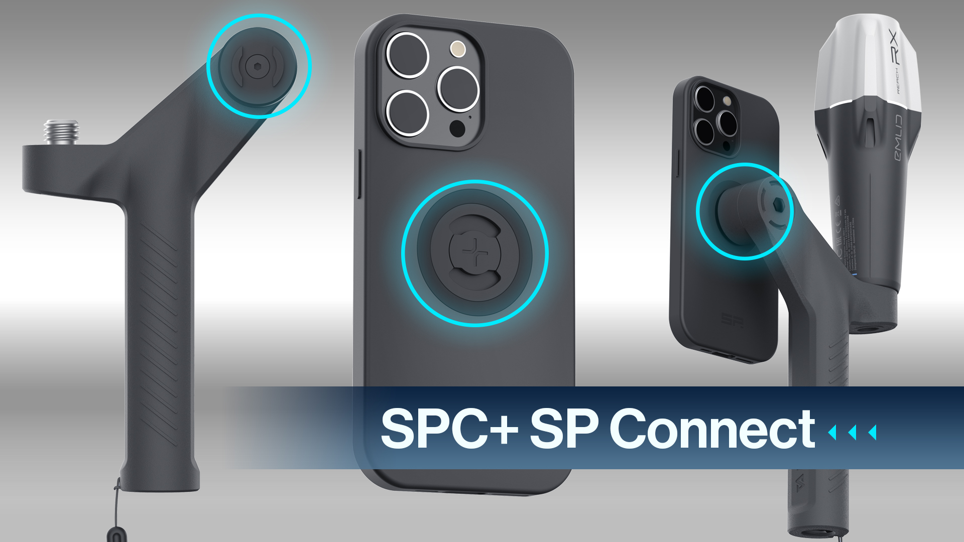
A smartphone case that is compatible with SPC+ SP connection is required.
The grip is suitable for right and left-handed users, which makes it even easier to use.
TitleSpecifications
Device specifications | Properties | Positioning | Connectivity | Data | GNSS |
|---|---|---|---|---|---|
Size 172 x 51 x 51mm | Runtime Until 16 hrs | RTK H: 7mm + 1ppm V: 14mm + 1ppm | Communication interface Bluetooth 4.2 | Input format RTCM3 | Signals GPS/QZSS L1C/A, L2C, |
Connection 5/8" - 11 UNC | Battery Li-Ion 5200mAh, | Convergence time ~ 5s typically | Ports USB Type-C | Input data protocol NTRIP | Number of channels 184 |
Weight 250g (8.81oz) | Charging USB Type-C, 5V, 2A |
|
| Format of the position data NMEA | Degree of actualisation 5Hz |
Operating temperature -20 to +65°C (-4 a 149 °F) | Certification FCC, CE, IC |
|
|
|
|
IP protection class IP68 (up to 30 min at |
|
|
|
|
|
Better advice as a user
If you are interested in our offer or would like to find out more about the Emlid & Pix4D scanning kit, give us a call today and arrange a free, no-obligation consultation. We will answer all your questions. As both a dealer and a user, we are well placed to support you after your purchase.