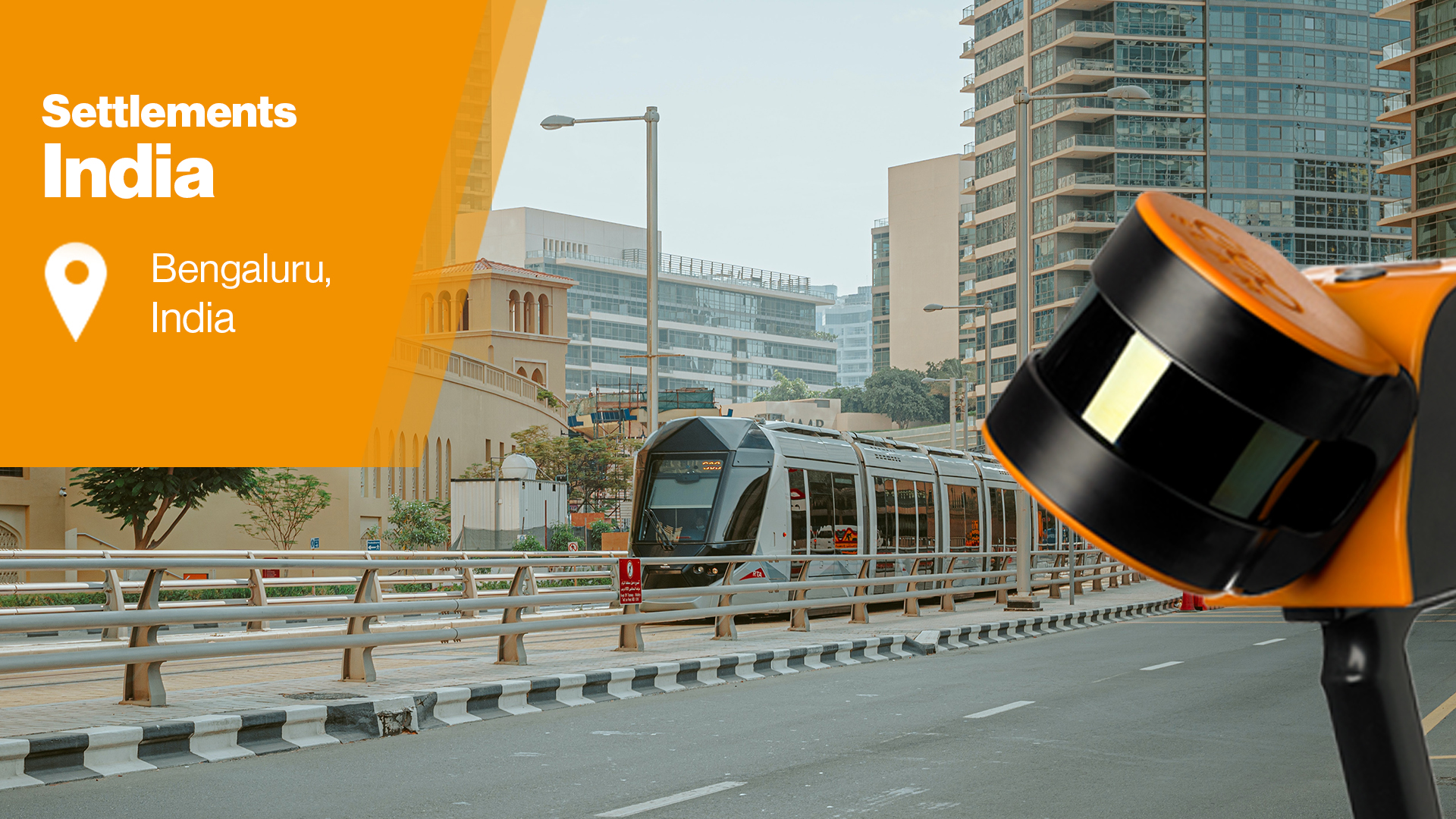
3D mapping of settlements in Bengaluru, India

TitleAccurate mapping of settlements in Bengaluru
In many parts of India, cities and settlements are modernizing their road and path networks. In Bengaluru's case, the government plans to officially grant ownership rights to settlement residents due to the expansion and development of the road network, which is why a map of the entire area is needed.
However, to carry out this project, precise surveying and mapping of the surrounding area and road networks is required. This is proving to be very complex and difficult in this case. So, how is it possible to create an accurate inventory of the surrounding area?
The unofficial urban settlements in Bengaluru, India, are home to approximately 16% of the city's population; there are around 500 recognized settlements in the area.
Bengaluru is currently undergoing modernization and urbanization, which has led to an expansion of the city's boundaries. As a result, local authorities are required to provide the respective owners with records of each house, detailing the exact dimensions of the buildings, such as plot boundaries and roof heights.
The government plans to officially grant ownership rights to the settlement residents, so a map of the entire area is needed.
Nakshatech, a geospatial mapping company, was commissioned to survey the area and collect this data. This required mapping the complex settlements. The task was challenging, as they include many narrow alleys that are difficult to access. In addition, people are busy going about their daily activities.
Additionally, some parts of the settlements are located in dark and cramped areas, while others are exposed to direct sunlight. Consequently, the team had to find adaptable solutions and technologies that could handle these challenging environments and accomplish the task at hand.
The area to be mapped is also a no-fly zone, so drones were not an option. Other data collection methods, such as ground-based scanning, would have been impractical due to the hectic nature of the area. The narrow streets posed a further challenge, necessitating a mobile solution.
Scanning hard-to-reach areas with ZEB Horizon
A quick and effective method for mapping the settlements was to traverse the complex corridors on foot; a mobile laser scanner was the best choice. Nakshatech chose GeoSLAM's ZEB Horizon 3D scanner for its ability to quickly capture accurate data and its ease of use. This compact application made it possible for only one person to scan an area. This solution also proved cost-effective for Nakshatech and its client.
The extensive road and path system, made up of narrow, winding corridors and dead-ends, did not compromise the flexible SLAM technology. Using the ZEB Horizon, the team was able to scan 40–45 areas of the settlements. Scanning times ranged between 25 and 27 minutes, allowing smaller areas of the settlements to be captured in a single scan. For larger areas, the team performed multiple scans, which were sent individually to the client.
Creation of accurate point clouds for the customer
The final scans were imported into the GeoSLAM Draw software, which automatically generated orthophotos. This allowed the engineers to take accurate measurements in a timely manner. The point clouds were also exported to Terra Solid, where additional information was extracted for the final report.
The results met the client's accuracy goals. They were able to seamlessly extract the boundaries and roofs of each individual house in the settlements.
GeoSLAM technology is used in many places
This isn't the first time GeoSLAM technology has been used to map settlements in India. In 2017, the GeoSLAM ZEB Revo was used to precisely scan Mumbai's settlements. The resulting 3D point cloud helped obtain information about the elevations and profiles of individual house facades.
GeoSLAM scanners are no longer available. We offer next-generation technology. Please contact us if you have any questions.
Original article by GeoSLAM.