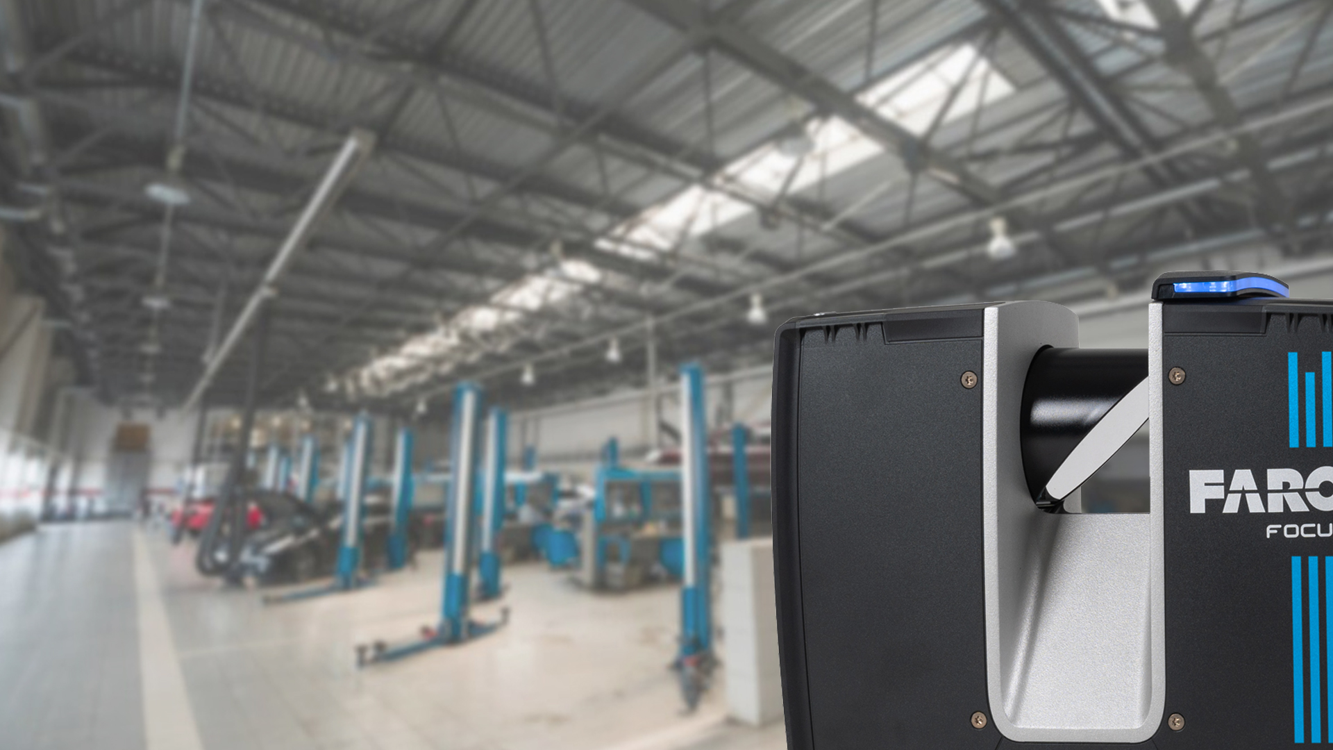
ThyssenKrupp Drauz Nothelfer uses laser scanning for plant layout study

TitlePlanungssicherheit durch 3D Laserscanning
Im Rahmen einer Anlagenplanung hatte ThyssenKrupp Drauz Nothelfer das schnelle, vollständige und effiziente Aufmaß einer bestehenden Produktionsanlage eines Automobilherstellers zur Aufgabe. Besonders wichtig war bei der Anlagenplanung die Anforderung, die Ergebnisse der Vermessung zeitnah in den bestehenden CAD-Systemen AutoCAD bzw. FactoryCAD und RobCAD nutzen zu können.
Increasing planning certainties through 3D laser scanning?
For a plant layout study ThyssenKrupp Drauz Nothelfer was assigned a contract to efficiently create complete plans and sectional views of an existing carmaker production plant. ThyssenKrupp Drauz Nothelfer considered the need to implement the laser scanning data into existing CAD systems (AutoCAD/FactoryCAD and RobCAD) without delay as one of the primary goals.
What is the major advantage of 3D laser scanners compared to old-fashioned measurement methods?
Within a short time frame, 3D laser scanners enabled Laserscanning Europe to record and represent the building, the steel construction, the conveyor system, the equipment and supply means — accurate in every detail. That way, 3D laser scanning provided a real and visually faithful representation of the entire installation, which was not obtained in several but in just one step. Thus, the user may use the generated laser scans to obtain additional information and ensure correct planning decisions. Laser scanning is therefore a major factor in ensuring that planning decisions are based upon sound analysis.
Is it possible to analyze point clouds on site?
The engineers of ThyssenKrupp Drauz Nothelfer requested an on-site analysis of the scan results without delay. Consequently, Laserscanning Europe provided a new and unique service. To achieve the objectives of the customer, Laserscanning Europe generated layout plans and sectional views with the software Point-Cab. In this particular case, it was on the next day that the planners could use plans and views of the robot cells to examine the position of robots, cable tunnels and safety devices. The automatically generated plans and views could be easily implemented into AutoCAD (FactoryCAD) and RobCAD. Thus, all planners were able to use the generated results in their CAD environments without requiring them to understand the underlying principles of laser scanners and point clouds.
Converting point clouds into as-built 3D CAD models
An on-site analysis was performed while — at the same time — the results were converted into a 3D CAD model for SolidWorks. Based on CAD guidelines (colors, use of layers, etc.) and criteria (content and precision) specified by the client, Laserscanning Europe created CAD models from scanned point clouds. The result was a real representation of the installation, which could be directly used with CAD tools by the client. Planning uncertainties and time-consuming measurements could be drastically reduced on site.
Thanks to this innovative method, the customer of ThyssenKrupp Drauz Nothelfer received a CAD model, which is an entire reproduction of reality and can be utilized for other purposes. Accordingly, the data of a supplier may be used, for example, to estimate time and effort or to plan and integrate components into the plant.
TitleLaserscanner Punktwolken direkt auf der Baustelle auswerten?
Da die zeitnahe Verwendung der Ergebnisse der 3D-Vermessung (Laservermessung) für die Ingenieure von ThyssenKrupp Drauz Nothelfer von großem Interesse war, stellte Laserscanning Europe GmbH einen neuartigen und einzigartigen Service zur Verfügung. Dazu wurden mit der Software PointCab automatisierte Grundrisse und Schnitte aus den Laserscanning-Daten berechnet. In diesem konkreten Fall nutzten die Planer die Grundrisse der Roboterzellen schon am Folgetag der Vermessung, um die Position der Roboter, Halterungen, Kabelkanäle und Sicherheitsvorrichtungen zu überprüfen. Die mit Hilfe von PointCab berechneten Pläne ließen sich dabei sehr einfach in AutoCAD (FactoryCAD) und RobCAD hinterlegen. Die Anlagenplaner konnten die Ergebnisse direkt in ihrer bestehenden CAD-Arbeitsumgebung nutzen, ohne sich zusätzlich in das Thema Laserscanning bzw. in den Umgang mit Punktwolken einarbeiten zu müssen.
TitleVon der Punktwolke zum As-Built-3D-CAD-Modell
Parallel zur Datenauswertung vor Ort wurden die Laserscanning-Messergebnisse in ein AutoCAD 3D-CAD-Solid-Modell überführt. Laserscanning Europe modellierte nach den Vorgaben (Inhalt und Detaillierung) sowie den CAD-Richtlinien (Ebenenbelegung, Farben, etc.) des Auftraggebers CAD-Modelle aus den Punktewolken. Die Ergebnisse entsprechen einem realen Abbild der Produktionsanlage und können vom Kunden direkt im bestehenden CAD-System verwendet werden. Planerische Unsicherheiten und zeitaufwendige Aufmaße vor Ort können drastisch reduziert werden.
Aber auch der Auftraggeber von ThyssenKrupp Drauz Nothelfer erhält durch dieses innovative Verfahren ein der Realität entsprechendes CAD-Modell, welches für weitere Aufgabenstellungen genutzt werden kann. So lassen sich beispielsweise die Daten eines Lieferanten für eine Aufwandsabschätzung oder die Konzeption und Integration neuer Anlagenkomponenten nutzen.